The Rouge, the hidden river that runs to the heart of the motor city's neighborhoods, a river that once caught fire
during Detroit's go-go years, struggles to survive.
- Charlie LeDuff Canoes the Rouge River
Site History
|
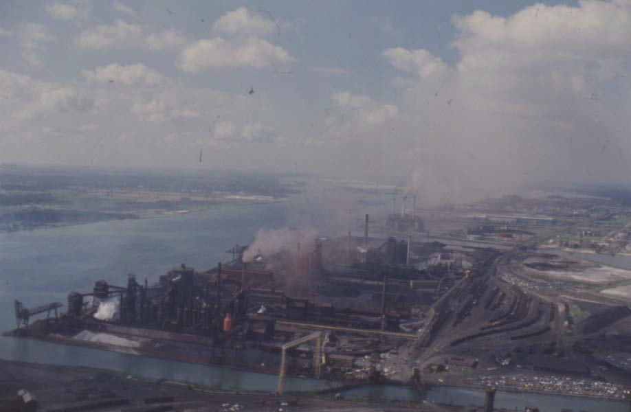
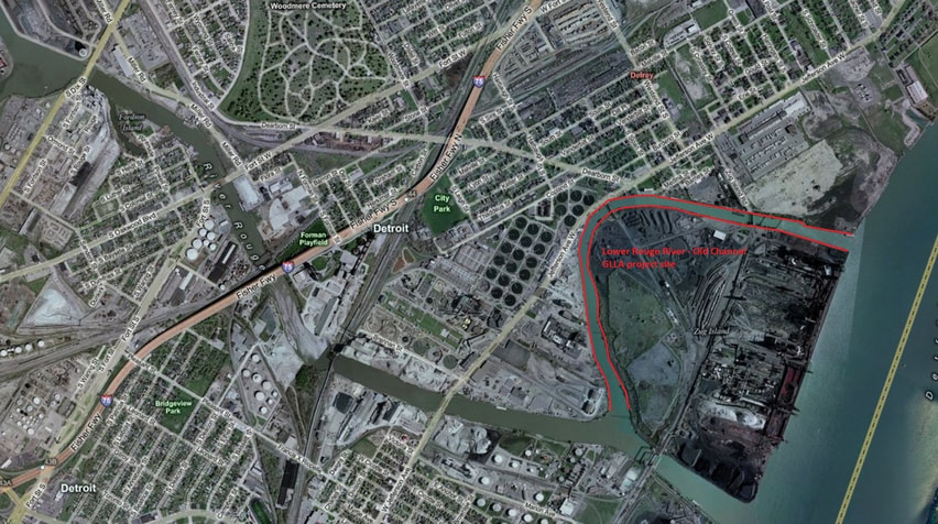
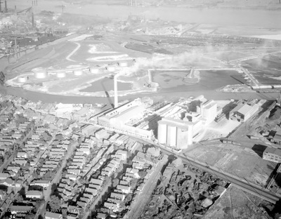
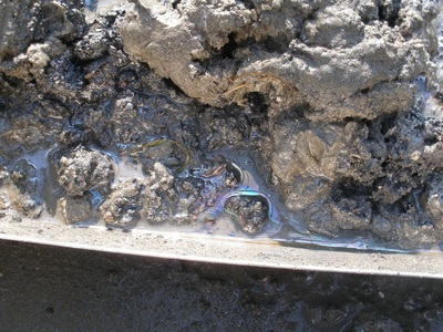
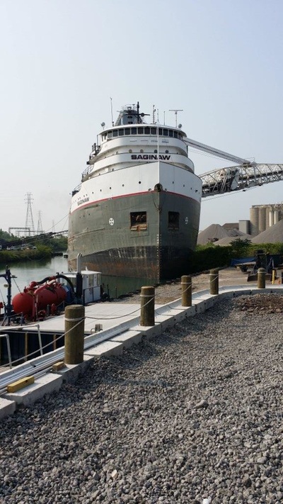
The Lower Rouge River has a rich industrial past that began in the early 1900s when Henry Ford enlarged a man-made shipping canal to the Detroit River to allow freighter passage up the Rouge. This reversed the flow of the Old Channel, which wraps around Zug Island and now flows into the Rouge River's Main Channel. Before modern environmental controls were established, a suite of contaminants were discharged into the river. These contaminants, mainly PAHs and NAPL, remain in the sediment of the Old Channel.
Although water quality is still challenged by new pollution like combined sewer overflows, pollution that impacts sediment quality is mostly a thing of the past, especially in the Old Channel. Regulations prohibit the discharge of most well-known sediment contaminants. Yet, the old contamination remains, and so a voluntary Great Lakes Legacy Act project in the Lower Rouge River Old Channel is taking place. A bank stabilization wall has been built with a cleanup taking place in 2019 and 2020. |
Location
|
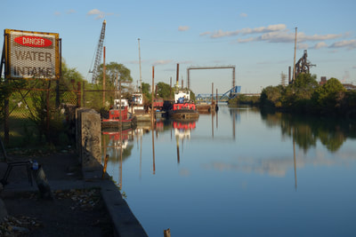
The lower section of the Rouge River marks the boundary between southwest Detroit and the City of River Rouge. This section extends from the Ford turning basin downstream to the Detroit River. The Old Channel includes only the area around Zug Island. The Lower Rouge River Old Channel is located in the Rouge River Area of Concern.
|
Schedule
A Great Lakes Legacy Act cleanup project for the Lower Rouge River Old Channel is currently in the cleanup stage with dredging and capping taking place.
Cleanup Process
|
Sediment to be remediated: 105,000 cubic yards
Contaminants: PAHs and NAPL Method: Dredging, capping, and habitat restoration When: 2019-2020 Partners: U.S. Environmental Protection Agency and Honeywell International Inc. Cost: $50 Million Note: An underwater cap will be placed where dredging is not feasible due to underwater utilities and other hazards. Habitat restoration will focus on spawning for locally important fish species. |
Short-term Disruptions
|
Sediment remediation is like a construction project on the water. It can involve large equipment, bright lights, and noise. Many projects even continue into the night and on weekends to speed up the process. Remediation will be inconvenient in the short-term, but a bit of patience results in a big payoff in the long-term.
|
Navigation of the Old Channel will not be impeded. However, some areas on the water may have obstructions for days or weeks at a time. Once those targeted sediment areas are cleaned up, access to those areas will be restored. Beware of increased tug and barge traffic. The project will involve work on nights and weekends. There will be increased noise and bright lights. There will be increased traffic in the area for construction workers, delivery of material, and for disposal of debris.
|
Long-term Benefits
|
Community Involvement
|
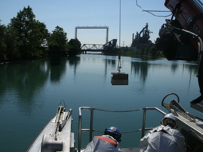
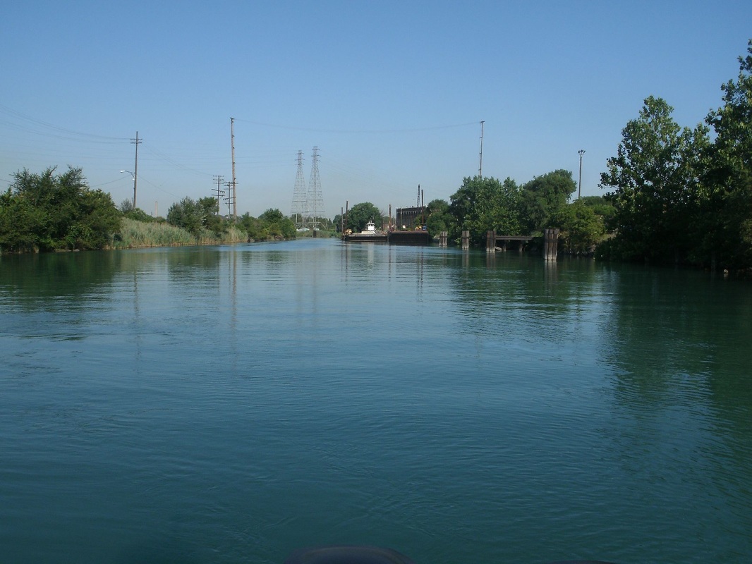
The lower Rouge River is primarily used by industry but sees light use of kayaking, canoeing, and shoreline fishing. The Friends of the Rouge host a kayak tour every year for members to see the turning basin, Main Stem, and Old Channel up close from the water. In a series of interviews, 24 residents, community leaders, and environmentalists spoke about the legacy of industrial pollution and the vision for future use of the river. Contact U.S. EPA project manager, Rosanne Ellison to provide input on the project, ask questions, or to coordinate the project with community events on the river.
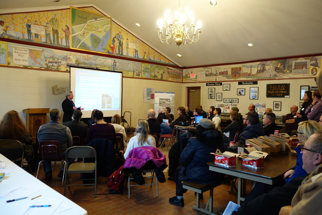
March 28, 2018 Public Meeting at People's Community Services of Metropolitan Detroit |
More Information
Documents and Resources
Press release on contractor selection (PDF, 1p, 88KB) October 2018
Medina Street fact sheet (PDF, 2p, 359KB) March 2018
Lower Rouge River Old Channel fact sheet (PDF, 3p, 1MB) March 2018; Spanish; Arabic
Community needs assessment for outreach (PDF, 25 p, 1.3MB) February 2018
Lower Rouge River Old Channel fact sheet (PDF, 3p, 267 KB) November 2017
Rouge River AOC boundary map (PDF, 1p, 158KB) January 2008
Remedial Action Plan for Rouge River Area of Concern (PDF, 28p, 422KB) January 2008
Stakeholders
Friends of the Rouge
Rouge River Advisory Council (RRAC)
Michigan Department of Environmental Quality
Michigan Department of Health and Human Services
U. S. Environmental Protection Agency
